

High Value Datasets
Explore LNEG's Open Data and High-Value Datasets (HVD), freely available through interoperable services that support access, reuse, and integration of geospatial information for the benefit of society.
The following institutional High-Value Datasets (HVD) have been identified by LNEG, under the guidance of the Directorate-General for Territory (DGT), in accordance with Commission Implementing Regulation (EU) 2023/138, adopted under Directive (EU) 2019/1024on open data and the re-use of public sector information.
LNEG's HVDs fall within the thematic category Earth Observation and Environment, playing a strategic role in providing geospatial information of public interest.
|
These datasets must comply with a set of technical and functional requirements, namely being:
In addition, the identification of specific High-Value Datasets is based on an assessment of their potential to:
|
 |
High-Value Datasets (HVD) Catalogue
The datasets presented include those published within the INSPIRE thematic data categories of Geology, Mineral Resources, Energy Resources, and Natural Risk Zones.
|
Theme |
Dataset Name |
License |
Metadata Link |
Dataset Link |
Coverage |
|
Geology |
Geological Map of Portugal, scale 1:1 000 000 |
|
Portugal |
||
|
Geology |
Harmonised Geological Map Data of Portugal, scale 1:1 000 000 |
Portugal |
|||
|
Geology |
Geological Map of Portugal, scale 1:200 000 |
|
Mainland Portugal |
||
|
Geology |
Harmonised Geological Map Data of Portugal, scale 1:200 000 |
Mainland Portugal |
|||
|
Geology |
Geological Map of Portugal, scale 1:50 000 (Raster Coverage Only) |
|
Mainland Portugal |
||
|
Geology |
Harmonised Geological Map Data of Portugal, scale 1:50 000 |
Mainland Portugal |
|||
|
Geology |
Geological Borehole Database - SONDABASE |
Mainland Portugal |
|||
|
Geology |
Portuguese Hydrogeological Resources Database |
Mainland Portugal |
|||
|
Geology |
Hydrogeological Map of Portugal, scale 1:200 000 |
Mainland Portugal |
|||
|
Energy Resources |
Onshore Wind Energy Potential Atlas Map of Mainland Portugal |
Mainland Portugal |
|||
|
Energy Resources |
Potential Renewable Energy Acceleration Areas (PREAA) |
|
Mainland Portugal |
||
|
Energy Resources |
National Sustainable Green Hydrogen Atlas |
|
Mainland Portugal |
||
|
Energy Resources |
Marine Energy Potential Maps of Mainland Portugal |
Mainland Portugal |
|||
|
Energy Resources |
Geothermal Atlas of Mainland Portugal |
Mainland Portugal |
|||
|
Energy Resources |
Biomass Energy Potential - CONVERTE |
|
Mainland Portugal |
||
|
Mineral Resources |
Portuguese Mineral Occurrences and Resources Information System - SIORMINP |
Mainland Portugal |
|||
|
Mineral Resources |
Critical Raw Materials Deposits Map of Mainland Portugal |
|
Mainland Portugal |
||
|
Mineral Resources |
Portuguese Ornamental Stones - ROP Portal Map
|
|
Mainland Portugal |
||
|
Natural Risk Zones |
Radiometric Map of Mainland Portugal |
|
Mainland Portugal |
For further information regarding Open Data and High-Value Datasets (HVD), please contact us via email at: geoportal@lneg.pt
An OGC API is an interoperable interface based on standards developed by the Open Geospatial Consortium (OGC), enabling access to different types of geospatial data over the Internet. These data can be consumed by client applications such as QGIS and ArcGIS, or accessed directly by users through a web browser.
The OGC API platform can be accessed at the following address:
https://ogcapi.lneg.pt/?lang=en-US
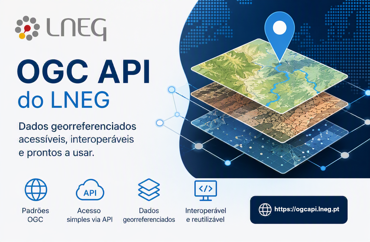
The following datasets are currently available through the OGC API platform:
- Geological Map of Portugal at scales 1:1,000,000, 1:200,000, and 1:50,000 (harmonised according to INSPIRE specifications);
- Hydrogeological Map of Portugal;
- Portuguese Hydrogeological Resources Database;
- Borehole Database;
- Portuguese Mineral Occurrences and Resources;
- Onshore Wind Energy Potential Atlas of Mainland Portugal;
- Marine Energy Potential Maps of Mainland Portugal;
- Geothermal Atlas of Mainland Portugal.
For additional information about the platform and its functionalities, please consult the following resources:
- Support Manual (in portuguese)
- Technical Documentation