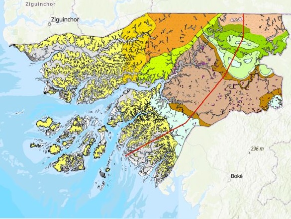
Geological Map of the Republic of Guinea-Bissau, scale 1:400 000
The Geological Map of the Republic of Guinea-Bissau, scale 1:400.000, is now available for download in the Open Data section. This Map was edited in 2014 by LNEG and DGGM, within the scope of a cooperation protocol involving the Tropical Sciences Research Institute (IICT, Portugal), the Geological Survey of Guinea-Bissau (DGGM, Directorate General of Geology and Mining) and the Portuguese Cooperation (Foreign Affairs, Portugal).
Geological Map of the Republic of Guinea-Bissau, scale 1:400 000
Year:
2015
Edition of Cartography:
1st. Edition
Authors:
LNEG (Portugal) and DGGM (Guiné-Bissau)
Email:
cartografia@lneg.pt
Metadata:
Link to metadata