Sources and Contamination Risk Map of the Entre-Douro e Minho Region
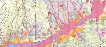
Chart of the Sources and Contamination Risk of the Entre-Douro-e-Minho Region, on a scale of 1:100 000.
Sources and Contamination Risk Map of the Entre-Douro e Minho Region
Year:
2000
Edition of Cartography:
1st edition
Authors:
Unit of Geology, Hydrogeology and Coastal Geology of LNEG
Email:
aguassubterraneas.ughgc@lneg.pt
Metadata:
Link to metadata
Order:
Link to order