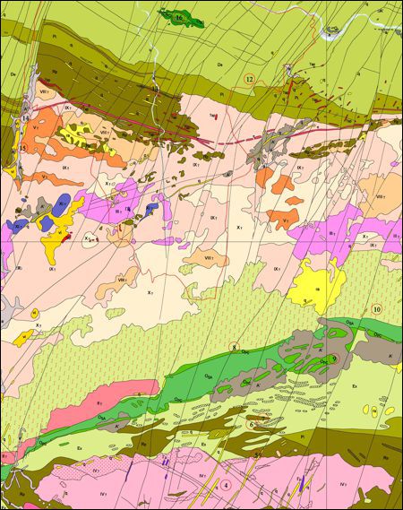
Geological Map of the Douro Demarcated Region, scale 1:25 000
Geological Map of the Douro Demarcated Region, scale 1:25 000.
Geological Map of the Douro Demarcated Region, scale 1:25 000
Year:
2004
Edition of Cartography:
1st. Edition
Authors:
Instituto Nacional de Engenharia, Tecnologia e Inovação
Email:
cartografia@lneg.pt
Metadata:
Link to metadata